|
|
|
|
|
|
|||||||||||||||||||||
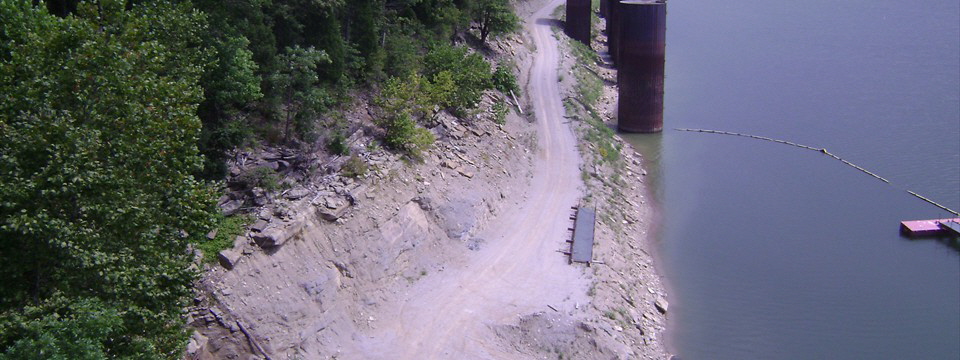
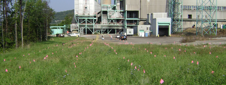
Karst Case StudyLimestone Bedrock Mapping and Karst Delineation A coal power station was expanding its site and capabilities in an area of suspected karst topography. In 2009, Bay performed 3-D electrical resistivity surveys in two separate areas within the facility. The objectives of the survey were to map the top of the limestone bedrock and to delineate any karsting within the limestone. The limestone bedrock was approximately 13-40 feet below the surface underlying clay soils. The 3-D resistivity surveys were designed with a depth penetration of 50 feet beneath the surface and a lateral resolution of 10 feet. |
|||||||||||||||||||||
 |
|||||||||||||||||||||
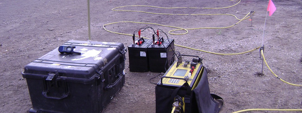
Following data acquisition, resistivity models were generated from forward modeling and data inversion integrated with the GPS survey. 3-D rendered volumes and dynamic volume slices were generated for interpretation. |
|||||||||||||||||||||
 |
|||||||||||||||||||||
 |
|||||||||||||||||||||
The 3-D resistivity surveys successfully mapped the top of the limestone bedrock and delineated several anomalous areas within the limestone bedrock interpreted as air filled voids and clay filled voids. Groundproofing confirmed the locations of the resistivity void anomalies. Based upon the results of the 3-D resistivity surveys, the power plant was able to expand its facilities without any issues. |
|||||||||||||||||||||
 |
 |
||||||||||||||||||||
 |
|||||||||||||||||||||
|
|||||||||||||||||||||