|
|
|
|
|
|
||||||||||||
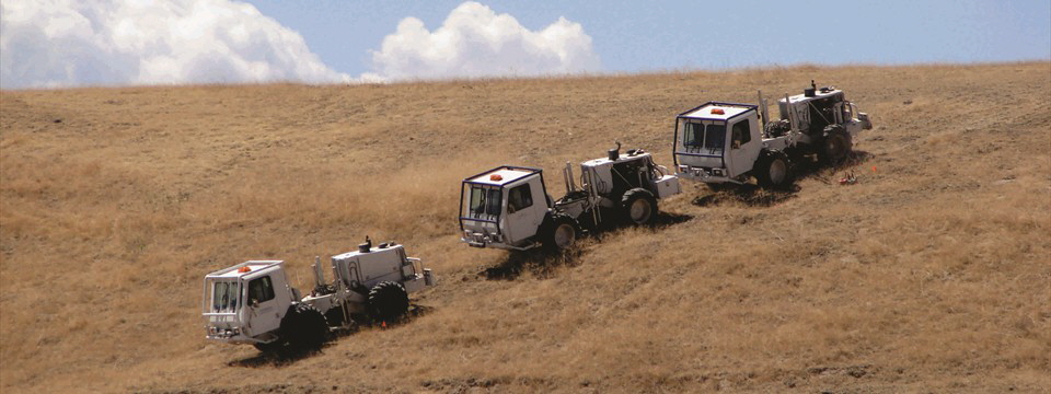
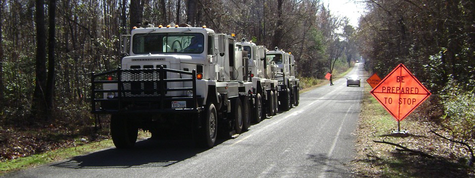
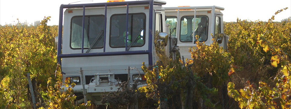
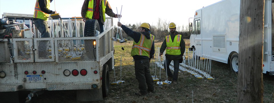
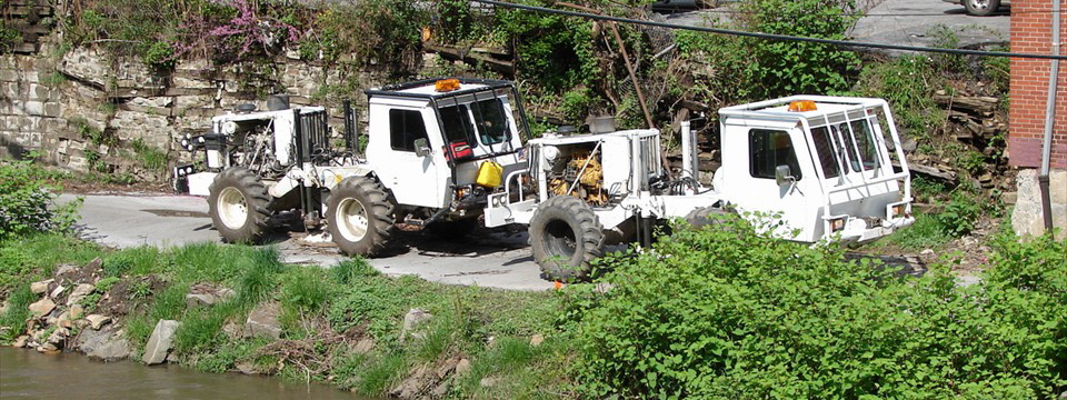
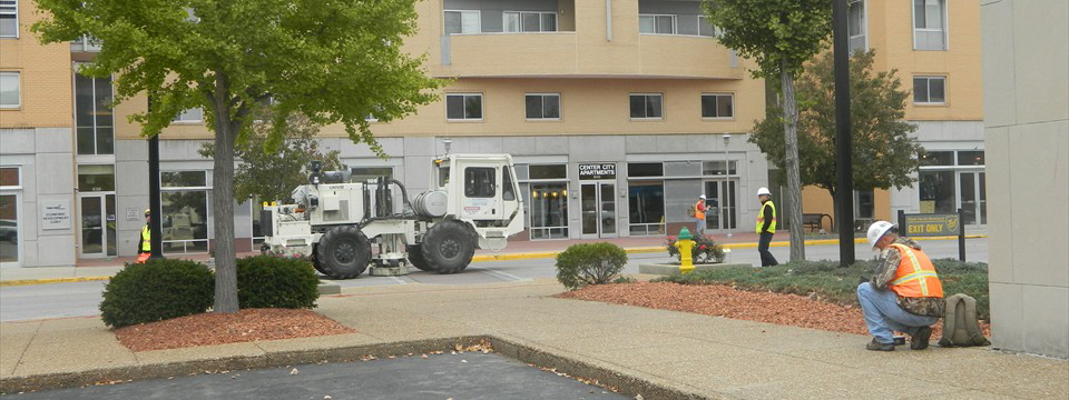
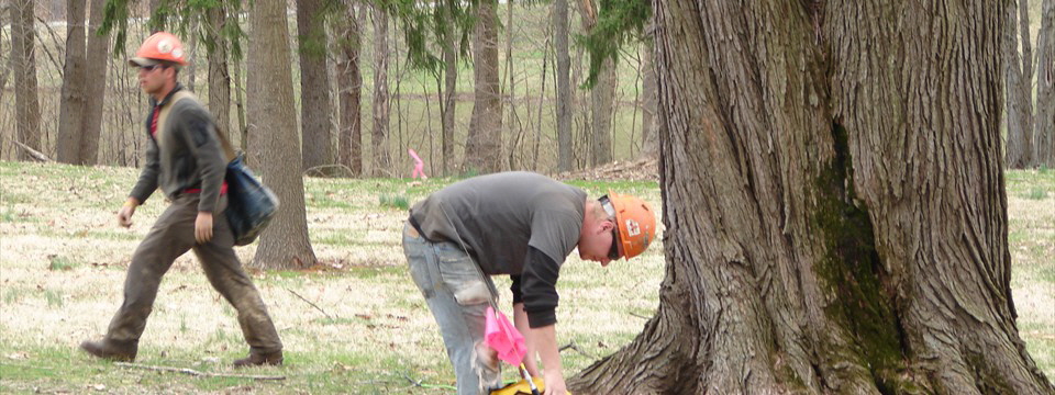
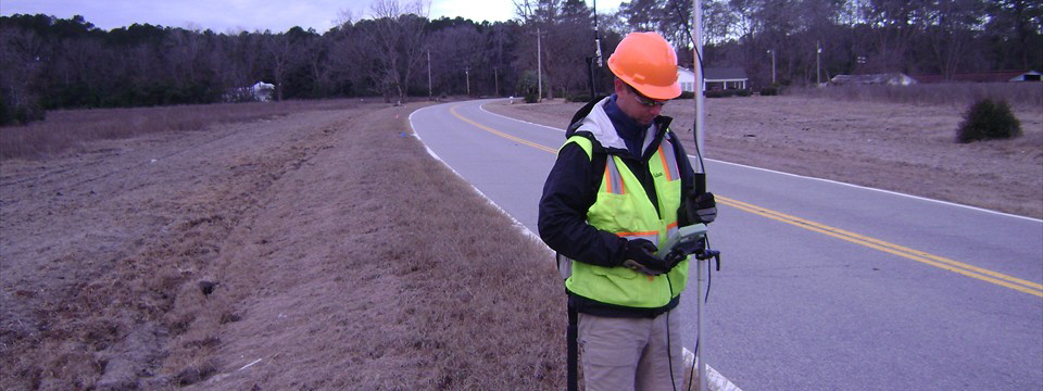
ApplicationsBay is an industry leader in high resolution subsurface imaging for the energy and mineral exploration industry. Land Seismic Bay specializes in seismic reflection techniques for mapping structures, faults, lithology, reservoirs and mineral deposits. Bay’s extensive acquisition of high resolution seismic data, combined with out experience, and a full suite of standard and experimental seismic sources, has provided us with the knowledge necessary to help you design your survey with the acquisition parameters required to image the subsurface environment at your site location. Bay offers vibroseis and shothole service and specializes in the following surveys: |
||||||||||||
|
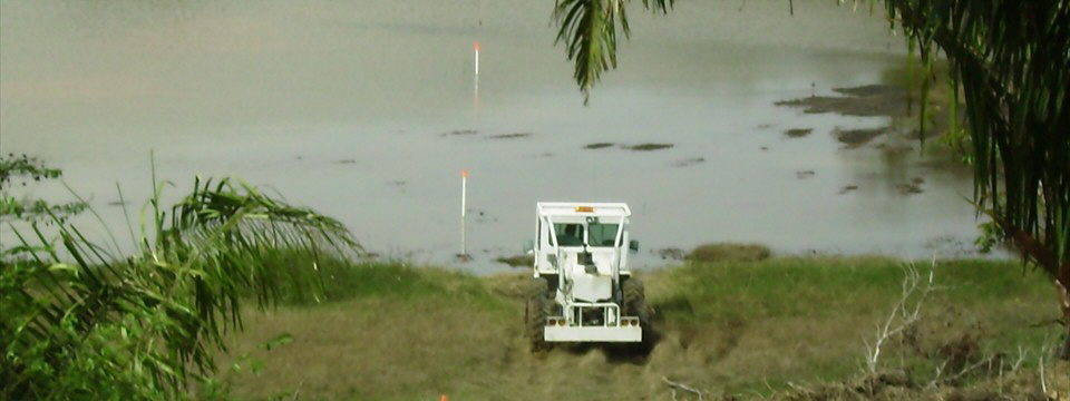
Marine Seismic Bay has acquired seismic data in marine environments in locations throughout North America. The targets of these studies have been diverse as the geographic locations, ranging from mapping hydrocarbon prospects to stratigraphic and fault/fracture features. |
||||||||||||
|
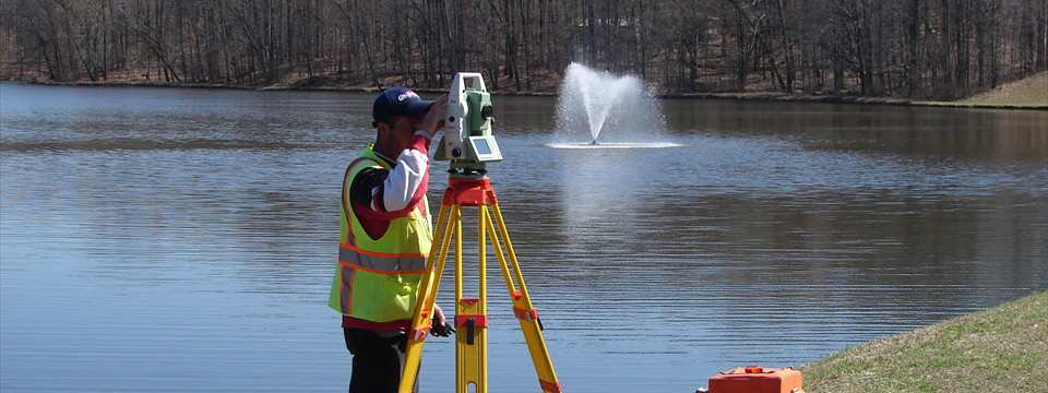
Other Methods In addition to seismic reflection, Bay employs other geophysical techniques for exploration applications, such as gravity, marine multi-beam, electromagnetics and borehole techniques. Applications include:
|
||||||||||||
|
||||||||||||